Ted X talk 2019
Solving the missing map problem with OpenStreetMap
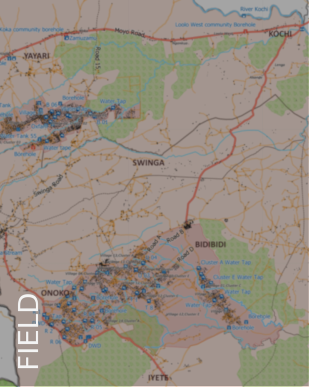
Missing Maps – how the digital revolution is changing the face of humanitarian disaster relief and the importance of OpenData for society as a whole.
Currently: Consultant Fellow to the Royal Scientific Society of Jordan: Mapping Climate Memory, Practice and Community Resilience with mobile ethnicities in Al Azraq Desert Oasis, Jordan
2020-2021: Public Health Consultant to NHS Wales (Cwm Taf Morganwg UHB): “Community-Mapping of Food Deserts, outbreak (COVID) resilience, and the Wider Determinants of Well-Being in areas of mass deprivation in the UK”
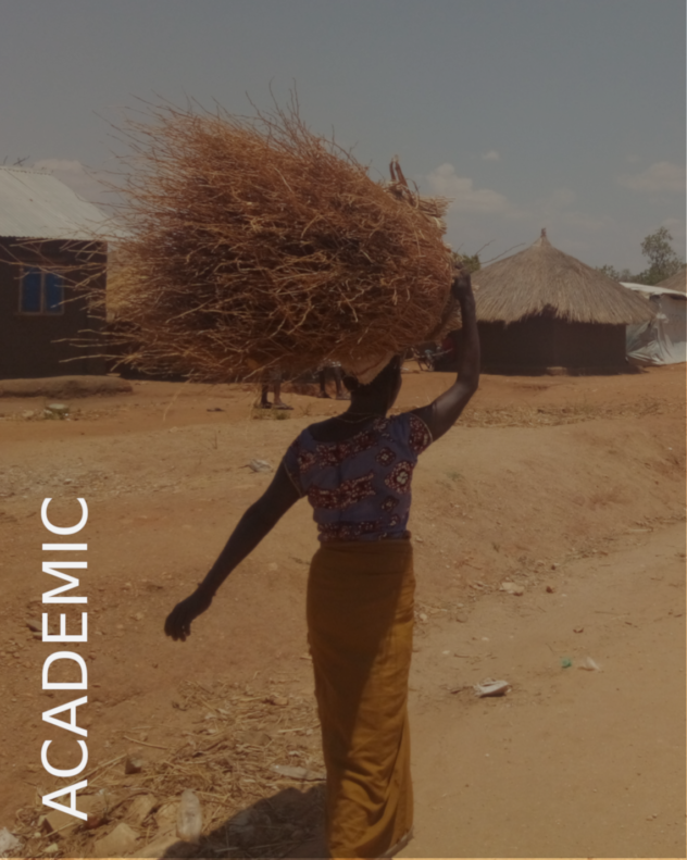
2017-2019: Country Manager, Humanitarian OpenStreetMap Team Uganda.
Uganda Programs:
- Crowdsourcing Non-Camp Refugee Data, (UNHCR/OPM and USSD)
- Uganda Open Mapping: Community Disaster Risk Management (KCCA/UBOS/MapUganda and World Bank/OpenDRI)
- Bridging Development and Emergency Data Gaps for the Refugee Crisis (UNHCR/OPM and GFDRR/GPSDD)
- Refugee Context Risk Information: National Risk Atlas Drone-Mapping (UNDP/OPM/NECOC and Japanese Embassy).
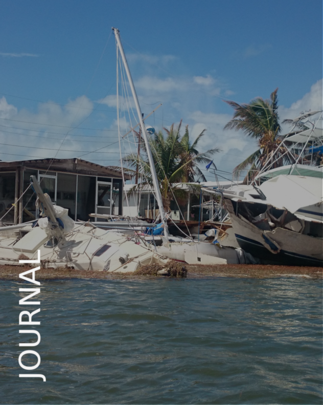
2017 – Hurricane Irma Response – Boot key, Marathon, Florida, Volunteer Clean-up and Infrastructure Logistics
2016 – Missing Maps – Sierra Leone. Field Mapping Co-ordinator
2015 – Missing Maps – Epworth, Zimbabwe. Field Mapping Co-ordinator
2011-2013 – Visiting Lecturer/Public Speaker to schools and Universities in the UK, on behalf of Friends of MSF
2010-2011 MSF Mission: Lankien, South Sudan. TechLog/LogAll-Round
1988-89 Liberia Inland Mission, West Africa, school building and youth work project. Short-term Missionary /Project Worker (TechLog)
(Uganda Comms Outputs/Media Collaborations:)
- May 2019 – BBC2 Equator from the Air: Humanitarian OpenStreetMap Feature
- April 2019 – National Geographic Magazine: BidiBidi; A City Rises
- May 2018 – HOT Uganda, interviewed by the BBC, Northern Uganda
- Blog: Refugee UNHCR Mapping in Northern Uganda
- Blog: Refugee Service Map Outputs
- Blog: World Bank/OpenDRI Project: Uganda Open Mapping for Disaster Risk Management
- October 2017- March 2019 – Establishment and content of social media accounts for HOT Uganda (twitter, instagram, facebook)
Conferences:
- May 2019 Plymouth University: The Reciprocal Benefits of Global Health Partnerships Presentation/Workshop
- March 2019 UWEWK Uganda Ministry of Water and Environment ‘Proof of the centrality of water access for livelihoods and resilience in (non-)settlement refugee contexts.’ Team Presentation/Workshop
- December 2018 Uganda Media Challenge Expo: Media Challenge Initiative: Refugee Representation using OSM Presentation/Workshop
- November 2018 Applied Geo-Informatics for Society and Environment; Geoscience for Crisis Management, Windhoek. (Namibia University of Science and Technology): Citizen Participation in Community Mapping: Keynote
- August 2018 FOSS4G International Data Science Convention, Dar es Salam, Tanzania: Uganda Community Mapping: Conference Presentation
- September 2017 State of the Map, Ottawa, Canada: West Africa Motorcycle Mapping: Lightning Talk
- October 2016 Mentorship and Prize-Giving: Crisis Hack: Geovation Ordnance Survey
- July 2014 Sensi Hub Digital Innovation Sierra Leone
Publications:
- Chapter 29 – “
- Chapter 9 – “Modalities of United Statelessness”: University of Westminster (CAMRI): Mapping Crisis, Participation, Datafication and Humanitarianism in the age of Digital Mapping
- Journal Article (as Co-Author) – “Determination of true patient-origin through a community-defined OpenData tool for Malaria treatment in rural Sierra Leone” in Transactions of the Royal Society of Tropical Medicine and Hygiene (TRSTM),
- Chapter – “Citizen geo-science, and the centrality of water access for livelihoods and resilience in (non-)settlement refugee contexts in Uganda Water and Environment National Conference (UWEWK), 2019
International Locations:
Sierra Leone, South Sudan, Turkey, USA, Dominican Rep., Tobago, Germany, Balearics, Canaries, Liberia, Uganda, Zimbabwe, Cuba, Mexico, Jordan, DRC, Kenya
Languages: French, [Welsh, German, Spanish, Nuer, Bassa]
Personal Fieldwork Projects:
Maintaining critical relationships at executive level and on the ground has always demanded persuasive, context-sensitive diplomacy with agencies, communities and relevant authorities. I have cross-fertilised Film Industry and Relief-Work experience in difficult and isolated overseas environments across language barriers, using community advocacy and whatever technical communication tools made available to me.
Bagaya – Film Research, Uganda
