UK: +44 (0)7970 540 647
Twitter: @rupert_allan Instagram: rupert_allan
MARINE CALL SIGN: 24VN3, Skype: reubenmolotov
Email mail@rupertallan.com
Human-Centred Design for Disaster Relief, Crisis Mapping, Architectural Restoration and Film Industry: – using location-specific hyper-local technologies for positive change.
Working at the intersection of technical anthropology and human geography, I am a craftsman-turned designer, humanitarian project lead, and community advocate. Engaged in intervention design and field operations since 1988, my current work bridges environmental, creative and humanitarian activism, and is characterised by collaborations which improvise local technologies for community empowerment. As a visual anthropologist and critical geographer, I communicate this operational background, advocating for digital rights, climate/cultural justice and social change in publications, blogs and public appearances. Research is associated with University of Plymouth’s Sustainable Earth Institute, Jordan’s Royal Scientific Society, Westminster and Cambridge Universities, and Medecins Sans Frontieres (MSFUK) Manson Unit.
Online CV HERE (opens in a new tab)
-
The MSF name still stands for something
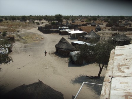
As the situation continues in Palestine, a particular organisation stands out as a living testimony to impartial ideals of humanitarian action. So thrilled to have recently found the missing blogs from South Sudan. I thought I’d lost them forever… CLICK HERE for ‘Eric’s Firkin Chiggin’, and you can find the rest of them too.
-
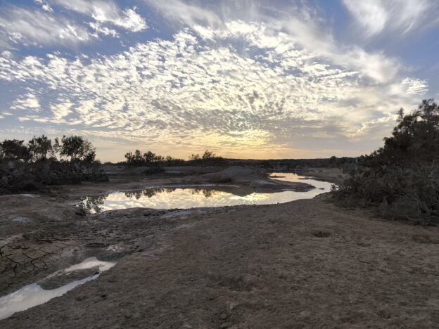
The Digital Revolution and Arabic OpenData
The Jordan ‘Community-Mapping Climate Memory’ project aims to help local people map how they and their livelihoods are adapting to extreme and accelerated climate change. In Al Azraq desert oasis, OpenStreetMap (OSM) is getting used to record cultural practices as a living archive of usable community assets. The project draws on a legacy of OSM…
