Mapio Cymunedlaethol
Mapping Land Voices – Counter-Mapping against Cultural Erosion and Language Loss with overlooked multi-ethnic multi-lingual rural communities.
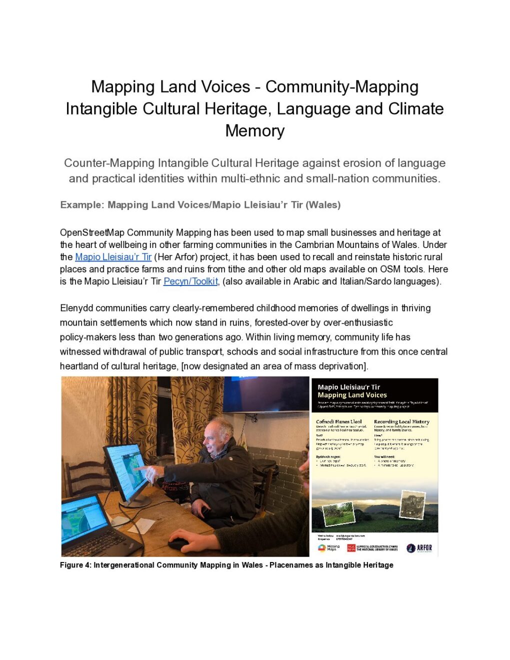
OpenStreetMap Community Mapping has been used to map small businesses and heritage at the heart of wellbeing in other farming communities in the Cambrian Mountains of Wales. The Mapio Lleisiau’r Tir (Her Arfor) project developped its use and reinstate historic rural places and practice, recalling memories of farms and ruins from tithe and other old maps available on OSM tools. Here is the Mapio Lleisiau’r Tir Pecyn/Toolkit, (also available in Arabic and Italian/Sardo languages).
Wales: Elenydd communities carry clearly-remembered childhood memories of dwellings in thriving mountain settlements which now stand in ruins, forested-over by over-enthusiastic policy-makers less than two generations ago. Within living memory, community life has witnessed withdrawal of public transport, schools and social infrastructure from this once central heartland of cultural heritage, [now designated an area of mass deprivation].