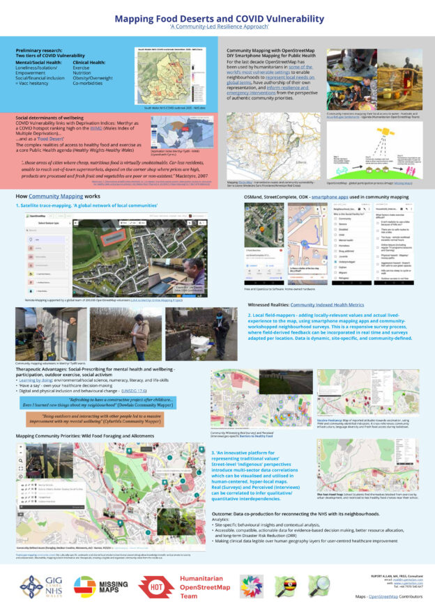
Wellbeing, Resilience, and Food-Desert-mapping. With Humanitarian OpenStreetMap Team, NHS Wales and Missing Maps/Medecins Sans Frontieres. PRESENTATION and REPORT
Community-led data helped to map wider determinants of Wellbeing, Co-morbidities, Social Exclusion and outbreak vulnerability. Reconnecting the NHS with its communities in the birth-place of the NHS (and of the Labour Party).
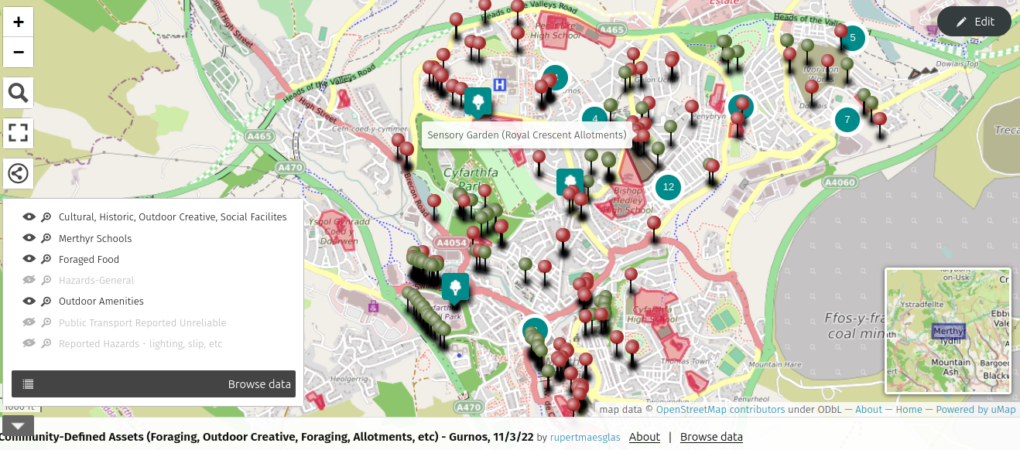
Real and Perceived Barriers to Health Food and Exercise – CLICK for Interactive Map
We adapted Motorcycle Mapping methods previously used with Medecins Sans Frontieres, Red Cross, UN, African Health Ministries and INGOs to use for mapping social inclusion, outbreak resilience, climate justice and lived Wellbeing experiences. Based out of Twyn Community Hub, Mel, Michael and Amanda were our community Disaster Risk Reduction mappers. Walking miles of Merthyr, they interviewed for perceptions of need, food and social access, and community assets. They then surveyed infrastructural provision realities site-by site. The reports created cultural, resource-access map layers, profiling a rich social capital, a proud pre-industrial heritage, (including ancient mythologies/holy sites), and the qualitative relations between perception and reality in the community voice. All available in the public domain, these anonymous data are your pocket, on all phone apps using OpenStreetMap/Mapbox etc wiki-maps.