Author Archives: Rupert Allan
Stori’r Goedwig – Stories of the Forest: National Library of Wales
Blog – Unlocking our Sound Archive
The Unlocking our Sound Archive project took us today to Nant Flur and Bryneithinog. The light was nickel-silver, and the lichen on the massive rocks of the old dwellings was stunning. And we sat on a couple of them looking at a short rainbow on the hilltop above the forest and listened to the recording.
‘Ty’n ‘nabod Dai Crofftau?’ (do you know Dai the crofter?). Tom Bryneithinog is hard to pin down as an old man, if you want him to talk about the forestry. He’ll tell you about hiding the sapling trees between your legs to get more money from the forestry commission, and how one farmer went to complain in Tregaron and came back paid-off with a better price, and happy to leave the hill with his family.
Dai Morgan used to tell me stories about running away with the mountain ponies when he was a young horse-boy. So near-by and yet, in another village. Dai used to point over towards the north side of the Ystwyth Valley and, conspiratorially, quietly say, ‘they’re different, those people’. North Wales, you see. They think differently. I can see it now in these crofts. They had a local perspective. And even though they were mobile – many lived away for a few years and worked in London – that was most certainly a foreign migration, reminding me of the London Kurds or Portuguese, and when they were back on their lands, it was exotic to for Nant Stallwen to marry into Llew Goch (family running the pub in Bont). 10 miles away, if that.
Another fascinating and evocative weekend was spent listening to the myths of the mountain folk of Ffair Rhos on Coflein – this is opening up a whole trail of links and research! Corpse candles and highwaymen. I never knew there were 6 fairs at Ffair Rhos through the years. Peggy Maesglas from Soar y Mynydd, over 100 horses, she had Hiraeth, boarding for school in Tregaron, so her family came.
And now, as we walk around the ancient croft ruins (yes, there were crofters in Wales, not five mile from where I live), we see trees planted – birch and beech, by the looks, at least, which are again changing the landscape and how people interat with it. ‘We carried the body of one massive man into the cemetary on our shoulders’, he recalls, ‘he was huge’. Everything is meted out in practical terms with Tom Bryneithinog. Values and prices litter his accounts of working life. ‘Ronnie John from Bont has bought the best land’ in the re-allotment after the forestry changed everything. To used to go up for the shearing to Nant Stalwen. 100 shearers, 5000 sheep (although the farmers never told us excatly how many. Someone with the flu in Nant Stallwen died of the flu because he drank cold water in the night. I was the only person to go out in the snow with the horseman postie. The brother of Dai Croftau cut his hand shearing and died from poisoning. (the doctor didn’t get there in time – Dad used to help him get there over the hill. He’d catch a horse and go up). The chapel-goers would die more than the chapel-goers. They were tricking the big king. The ones who went to chapel were hypoctrites. You shouldn’t go to chapel if you don’t live that way during the week.
Map of the Walk:
The landscape is boggy and hard to navigate. But roads – even tracks – were less important when you consider that everybody had a horse which could graze the mountain grass. Free fast transport for everybody. And Peggy Maesglas says that the roads that the forestry brought in destroyed the communities.
The baptists sold the chapel, and the buyers came with a lorry and took it Bala!
It was a badger, it was just the Beast of Bont. But there is a big cat that lives here. Down at Capel Dewi. With a hole in it’s throat. They do say that that big cat has been round here. Only once though. They saw it down in …. They travel so fast (although not as fast as a dog). With a fox, you’ll get it with one shot. And hares. I was a big shooter. The dog-hunters are the ones to blame, pulling creatures to bits. Even farmers feel for the fox. They should ban it.
‘Modalities of United Statelessness’ Chapter 9 Abstract:
Book Launch: Monday, 14th September, 2020, Mapping Crisis: Participation, Datafication and Humanitarianism in the Age of Digital Mapping.
To safeguard human lives quickly and effectively in humanitarian disasters, OpenStreetMapping (OSM) interventions generate life-saving maps whilst placing the governance and authorship of the field data into the hands of the communities where it originated.
Institutional data often do not exist in resource poor settings, and even where they do, hyper-local ‘expertise’ of citizen-generated data has an argued advantage of ‘trustworthiness’ over this more formal top-down information. (Muttaqien, Ostermann, Lemmens: 2018)
Although OSM may hold the dynamic potential to radically connect the physical with the digital, linking ‘situated knowledge’ in communities (the ‘specific’) with humanitarian overviews (the ‘universal’), this does not justify the indiscriminate mapping of ‘every corner of Africa’ simply for its own sake.
Exaggerated trust in new technology, too, can sometimes turn out to be dangerously ‘techno-colonial’, and actually detrimental to the safeguarding of human life. Where useful interventional maps depend on well-chosen words, often simpler and more lo-fi solutions have a more measurable impact.
Digitally-enabled mobile infrastructures can now prove highly resilient, refuting traditional assumptions linking mobility with ‘disadvantage’. Across cultures, demonstrations of chosen itinerance are beginning to query ‘digital realism’, imposing plural ontologies of ‘place’, re-visiting traditions of ‘language-code’ in which technology manifests as ‘taxonomy’. In this, ideas of ‘locale’ emerge more as process than place.
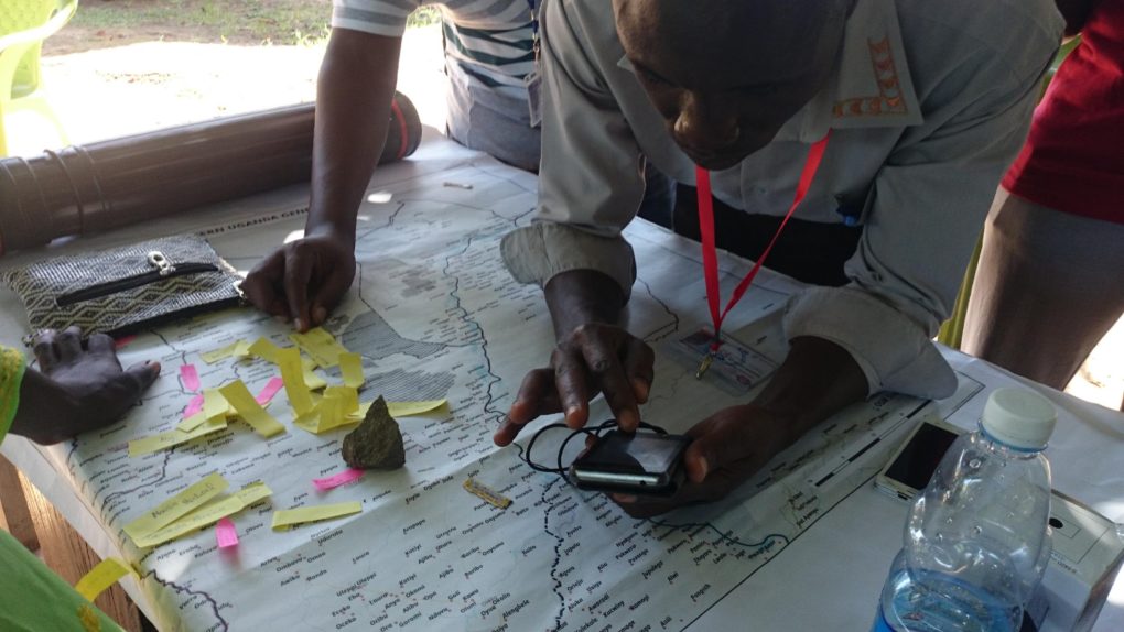
This chapter draws upon experiences of refugee-mapping using ‘local knowledge, local people, and local tech’, and on attempts to convey data in a way that universally translates. It will use field-derived perspectives to debate the multiple narratives which OSM mapping (and OpenDataKit tooling) enables.
To see how this technology adapts to ground-breaking community-mapping of COVID Vulnerability and Food Deserts in deprived areas of the UK, follow THIS LINK.
Mapping Crisis book launch
Mapping Crisis: Participation, Datafication and Humanitarianism in the Age of Digital Mapping (University of London/Chicago Press, Human Rights Consortium) Editor: Doug Specht.
Who knew that a book about personal data ethics, track and trace, government handling of life-saving disaster mapping data would become so topical?
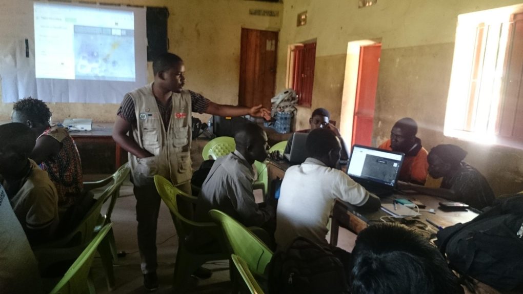
My contribution is the final chapter, ‘Modalities of United Statelessness’: about bottom-up, ‘hyper-local’, community-owned motorcycle-mapping data in Uganda’s ongoing refugee crisis. Local Ugandans and international refugees together ‘wiki-mapped’ disease outbreak and social protection data, in the Congolese/South Sudanese refugee settlement areas.
As members of the Ugandan Humanitarian OpenStreetMap Team, they adopted OpenStreetMap usernames. Then, using their own android phones, created a trailblazing resource of life-saving health, food, and water map data, now broadly used by UN, NGO, and Government emergency and development coordinators.
Humanitarians being part of ‘the solution’, rather than part of ‘the problem’.
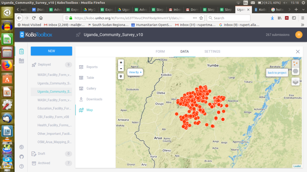
I argue this valuable ‘Data Preparedness’ to be a solution to many pandemic issues, and this view seems borne out by Uganda’s excellent COVID-19 record to date.
Chapter Abstract Here: Modalities of United Statelessness
….
I’d love if it got way beyond just academic community, as scholarship on the politics of representation and contemporary humanitarian ethics is scant, but really really important.
I liked this bit of the blurb, finding it particularly topical for the current times:
‘….Some have argued that representation has diminished in humanitarian crises as people are increasingly reduced to data points. In turn, this data has become ever more difficult to analyse without vast computing power, leading to a dependency on the old colonial powers to refine the data collected from people in crisis, before selling it back to them.’
Book also available through Open Access.
Prestigious Coverage of our Motorcycle Mapping work in Sierra Leone
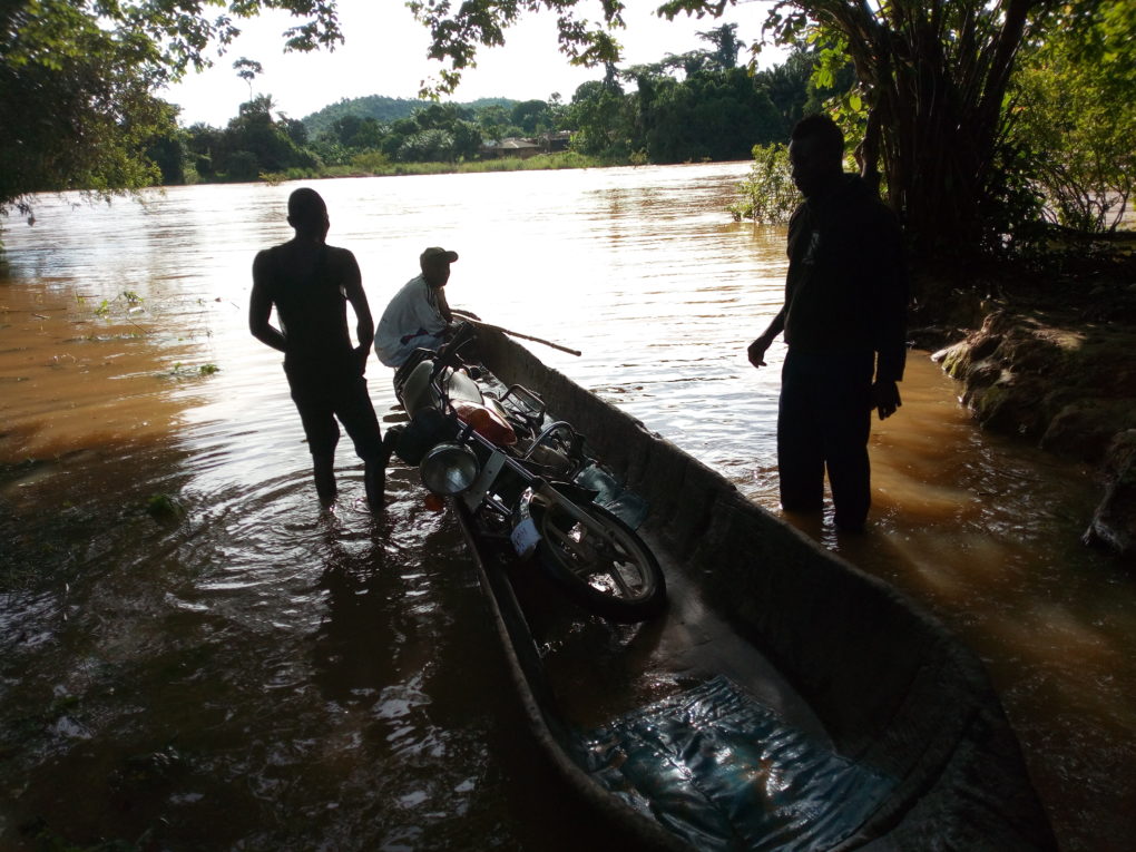
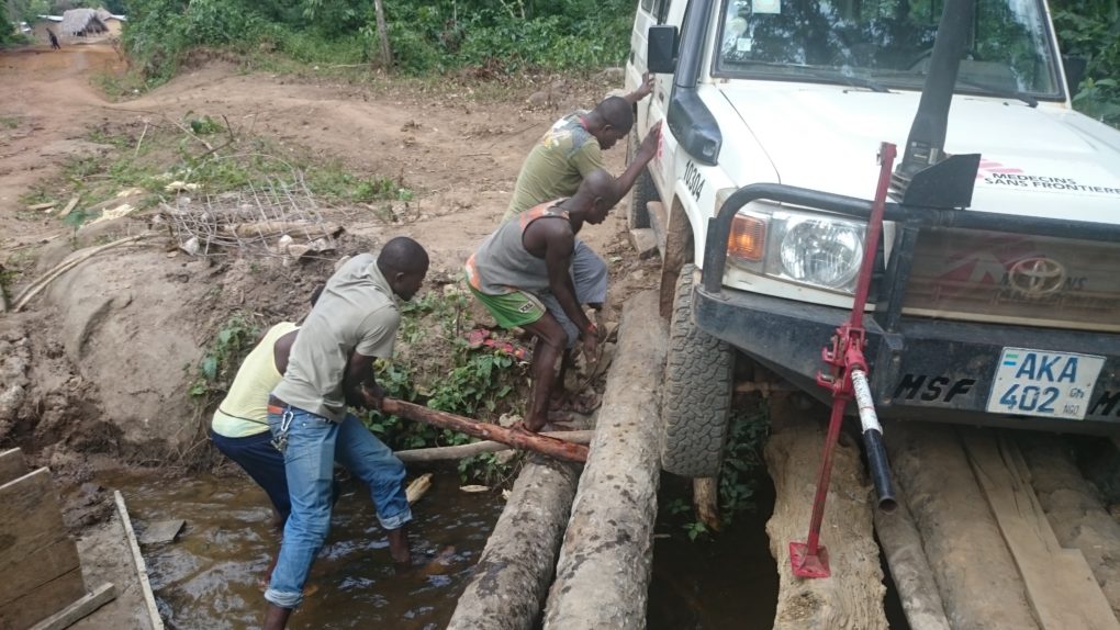
Motorcycle Mapping was first used in a humanitarian OpenStreetMap context during the Ebola outbreak in West Africa, which was also where Ivan and I first worked together. To establish the importance and impact of Motorcycle Mapping, Ivan put subsequent project together to use this techniques to map bednet distribution in a Malaria project in Kenema, Sierra Leone.
Dr Ed Monk was on the team, and got this paper published in the Transactions of the Royal School of Hygiene and Tropical Medicine, of which I am proud to be cited as a co-author. Newsweek also covered this project, and the article can be seen HERE. Although there is much coverage of me, it was Ivan’s project, and this project, made possible by the steady commitment of Randy Jones, helped to establish the motorcycle mapping techniques which I was to use at scale in the Northern Uganda Refugee and Ebola mapping projects (HERE and HERE).
