Doctoral Research – Is all Geography Psycho-Geography? Exploring the post-digital decolonisation of navigation and plural cultural geography amongst Seafarers, Boatpunks and Refugees: Discussing blue ontology, recycling, and ocean citizenship in our era of global migration.
Associated Publication: Chapter 29: The Routledge Handbook of Geospatial Technologies and Society
This project embarks from the observation that ‘maps are never value-free images’ (Harley in Cosgrove and Daniels, 1988) and that when we map there are preconditions embodied within the process. Critical writers from David Harvey(1973) to Edward Said(1979, and 2000) clearly make the case that all traditional mapping is not only conditional but also colonial, and a technology of spatial and personal governance.
This study is fundamentally interested in the relation of language to technology and the approximations of legend intrinsic to it. Using collective mapping as a model, it is compelled by a critical discussion of humanitarian interventions which use digitally-enabled mapping apparatus to collaborate with – and in – the field. Humanitarian OpenStreetMap is one methodology of digital humanitarianism which is heralded as ‘democratic and emancipatory’, despite criticism of some, whose ‘effect on public participation is more limited’(Givoni; 2016, 15). Initially, this PhD seeks to question whether collective digital mapping dissipates or further enables an imperialist mode, exploring specific mitigations for the Missing Maps project not only because of its reliance on hermaneutics, even affect at both ends of the technological interaction, but because the ‘shapeshifting’ toolkit used is dictated by field-specific demands (lo-tech and hi-tech). Cultural Geographers studying ‘geosophy’ (Wright; 1947) have long considered maps as socially constructed and ‘embedded in specific social contexts of production [and use]’ (Glasze and Perkins; 2015, 144). However, the passing of authorship and method into the public domain creates this phenomenon in the plural. It resets the psycho-geographic parameters, and evokes new suggestions about the speed and power of how reciprocal understandings of space work.
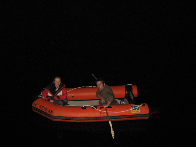
The PhD aims to apply this ontology of collective mapping and its determinants to a contested space – the sea. The sea is used because it is fluid; a socially constructed space, whose changeable landscape features are supplemented by technological, mythological and legal descriptors. It is also a common space whose conception, navigation, and innovation can be assessed from multiple cultural perspectives. By investigating this act of visualisation in a culturally abstracted setting, it will be possible to analyse close readings of the ways people ‘produce’ passage and negotiate cultural imaginaries or ‘legends’ within the spaces they project.
The research considers how people ‘(re)produce certain geographies and thus social realities’ (Glasze and Perkins, 2015; 143). Literary criticism suggests an instructional influence of common literary tropes or narratives, such as heroic quest, adventure, discovery, utopia, wilderness, the sublime on lived experience (Frye; 1958, Olderman; 1972, Dundes; 1965). Examples on the sea include personal accounts of navigations influenced by those who Conrad calls ‘knights-errant of the sea’ (1896, 3), accounts whose factual and technical approximation are an acknowledged theme of the ‘unreliable maritime text’.
The claim of the thesis is that the ideologies and cultural ‘truths’ projected onto the synthetic reality known as a map can be identified as properties of comparative cultural discourses, with traceable origins in literary text, behaviour and form. It will seek to establish the extent and influence of such tropes on design solutions in crisis settings. By comparing examples from differing cultural traditions it will explore the potential of cultural mythology to augment technological innovation. The work will consult approaches to mapping/populating the sea from contrasting economic, political and social viewpoints. The intention is to expose common systems of signification implicit in technical innovation through the specific technique of making maps. It will seek self-conscious examples of ‘materialising ideas’ of Utopia within technological change, and gain insight from cultural approaches acknowledged to identify with technological reform..
The humanitarian field is an environment in which representation, negotiation of terms, and practice of codes can be as critical as it is on the sea. By demonstrating the process of meaning-making through this abstracted mapping process, the case study aims to explore the dependence of scientific exactitude upon cultural form, and the impact of creative collaboration on humanitarian crisis technology.